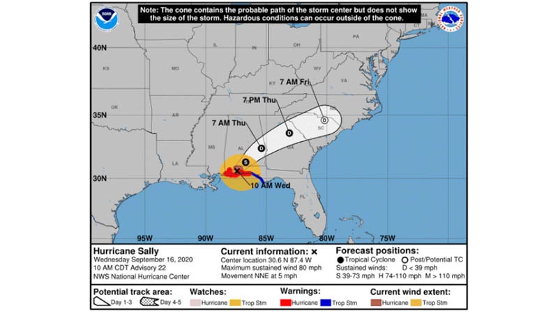
Chantal saunters through Carribean
Published 12:00 am Tuesday, July 9, 2013
Activity in the tropics is heating up as quickly as the temperatures outside.
Weather officials are watching the track of Tropical Storm Chantal, which as of Monday afternoon was racing toward the Lesser Antilles after forming in the Atlantic.
The storm’s maximum sustained winds as of midday Monday were near 45 mph with some strengthening expected over the next two days.
Chantal is centered about 550 miles east-southeast of Barbados and is moving west -northwest at 25 mph.
By midweek, the storm will encounter disruptive winds that could lead to weakening, which is good news for the waterlogged southern states. This potential weakening would occur around the same time it nears Hispaniola and eastern Cuba.
Later in the week, it is possible that what’s left of the storm would enhance shower and thunderstorm activity across the Florida Peninsula.
In light of local recent rains, the county emergency management agency is asking property owners to take precautionary measures now.
“Right now, it’s about preparing your home,” said county EMA director Susan Harris. “Prepare an emergency supply kit; check tie-downs on mobile homes; trim back trees and shrubbery near your home; repair broken fences; replace old or damaged roofing shingles; clear clogged rain gutters and downspouts; take a good look at the surroundings of your home and make sure all is safe.”
Harris said residents should also remember one’s emergency preparedness plan, “and please, all family members need to know the plan,” she said. “Also it is time now if you have not already done so to prepare an emergency supply kit.


